
Application Scenarios
As an advanced technological tool, drones have a wide range of applications in agriculture, providing farmers and agricultural practitioners with many new solutions and advantages. Our products excel in livestock monitoring, aerial surveying and mapping, and precision crop spraying, providing efficient, accurate and reliable solutions that help practitioners optimize production processes, improve efficiency, reduce resource waste, protect the environment and animal welfare, and promote sustainable agriculture. The continuous development of drone technology will bring more innovations and opportunities in the field of agriculture.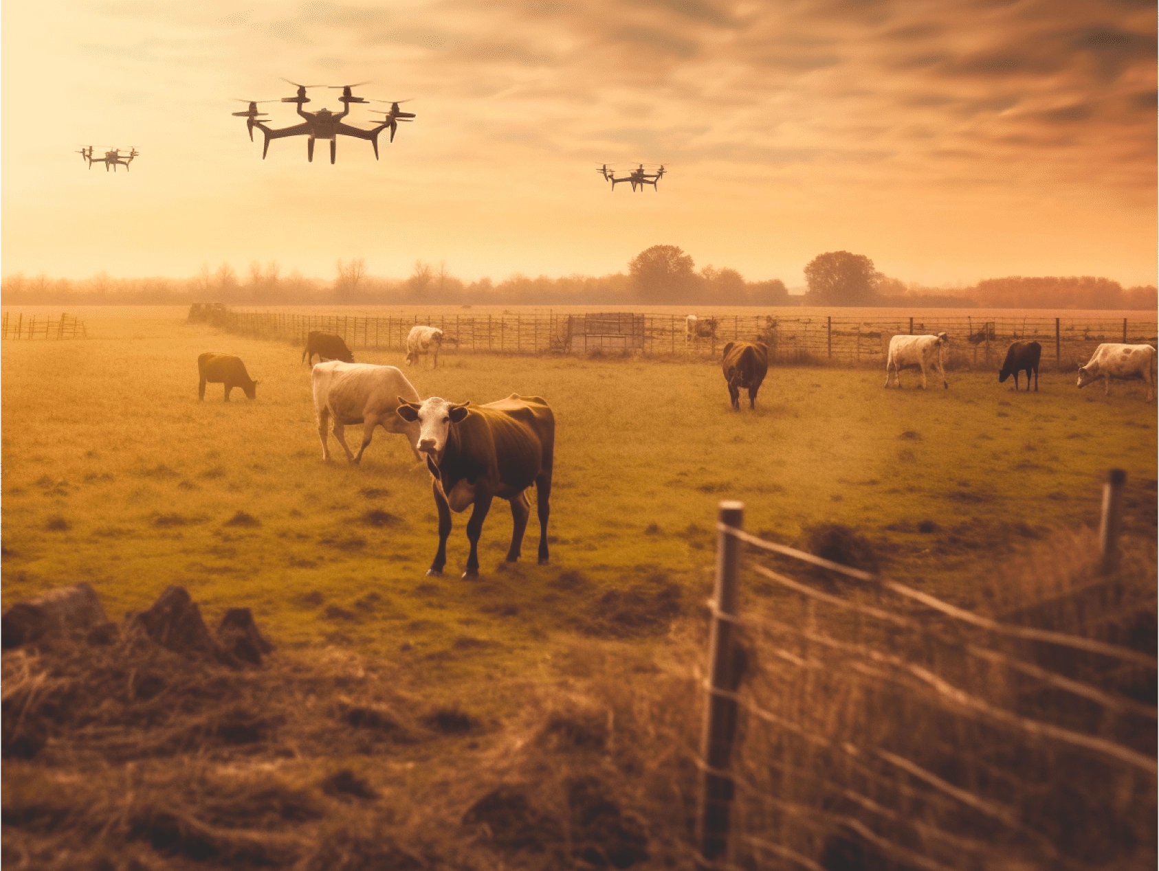
Livestock Monitoring
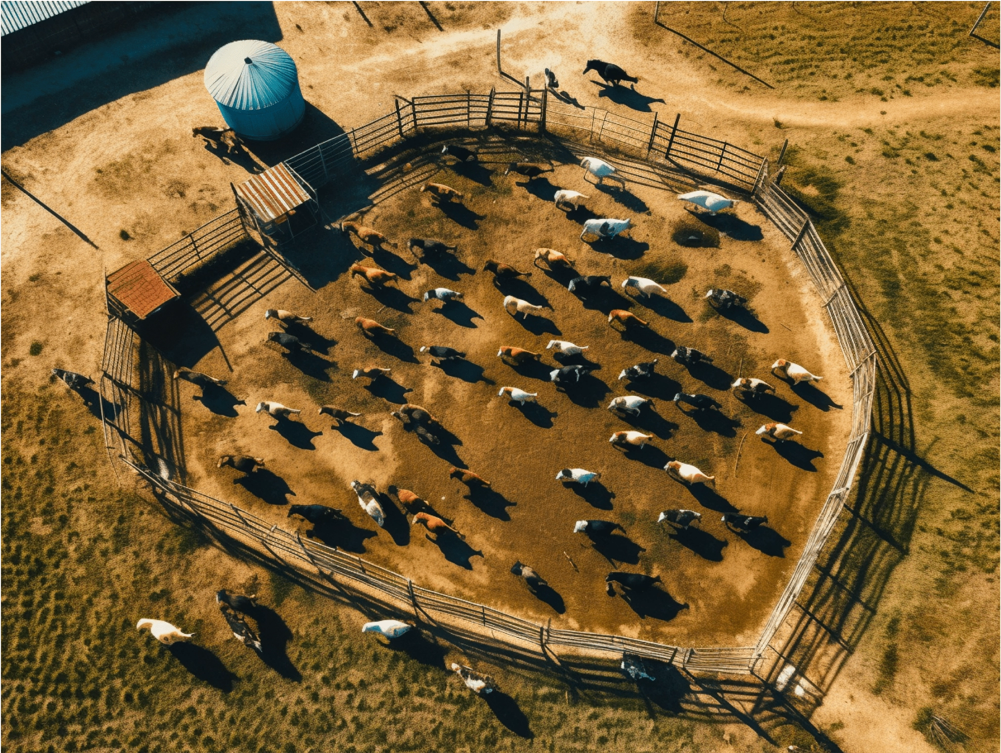
Drones can assist in monitoring livestock, tracking their activities, and ensuring their welfare. They can also help identify potential safety hazards or fence damage.
Aerial Surveying
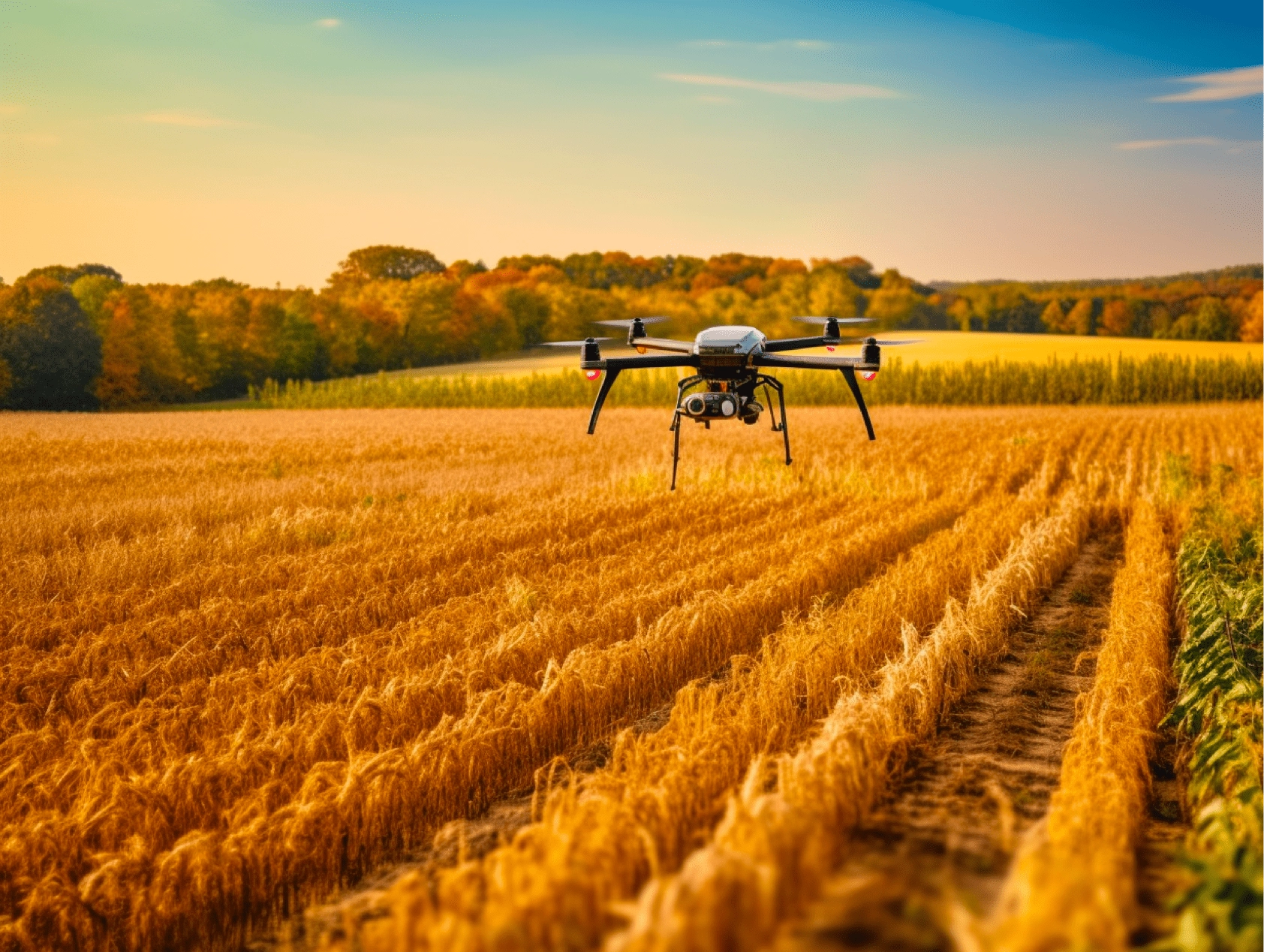
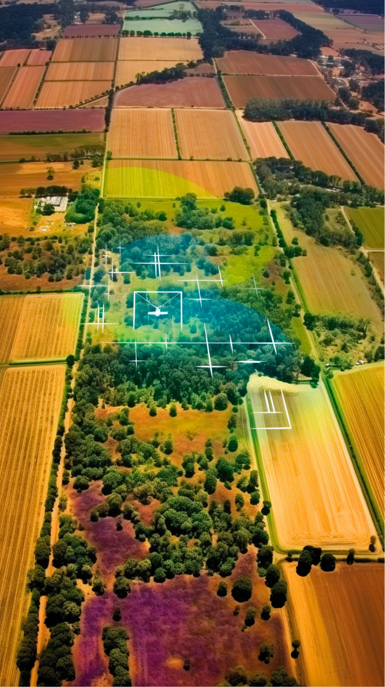
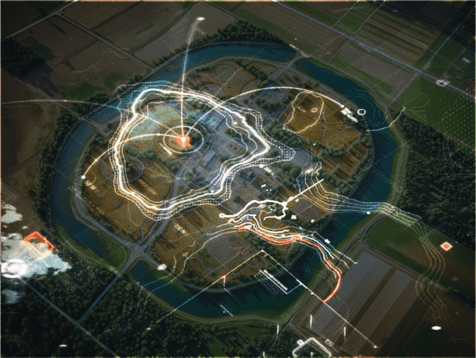
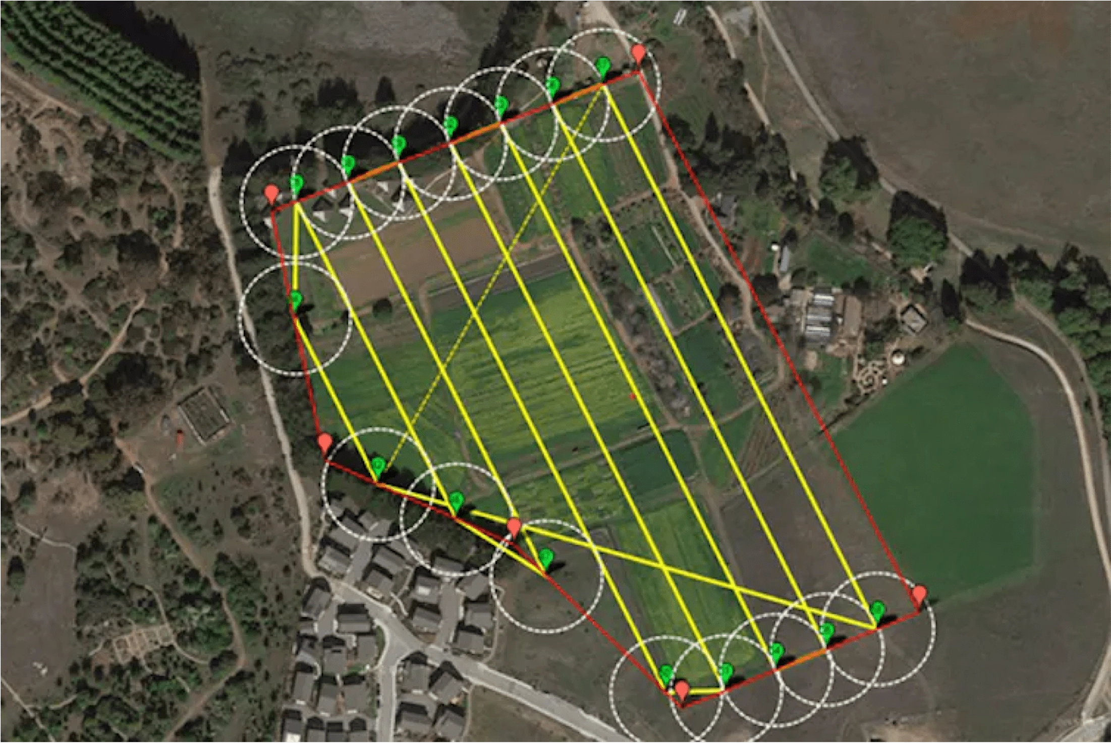
Drones equipped with advanced imaging technology can create detailed maps of farmland, providing valuable insights into soil variability, irrigation needs, and crop health. This data helps with better decision-making and resource allocation.
Precision Spraying
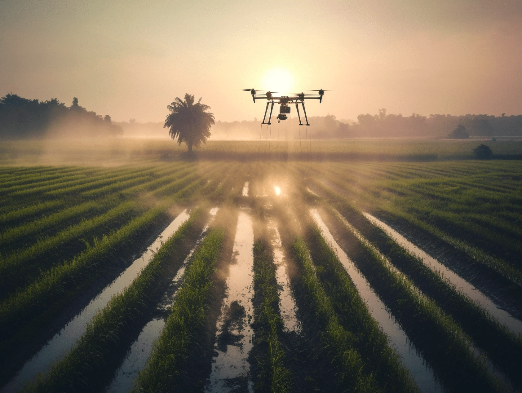
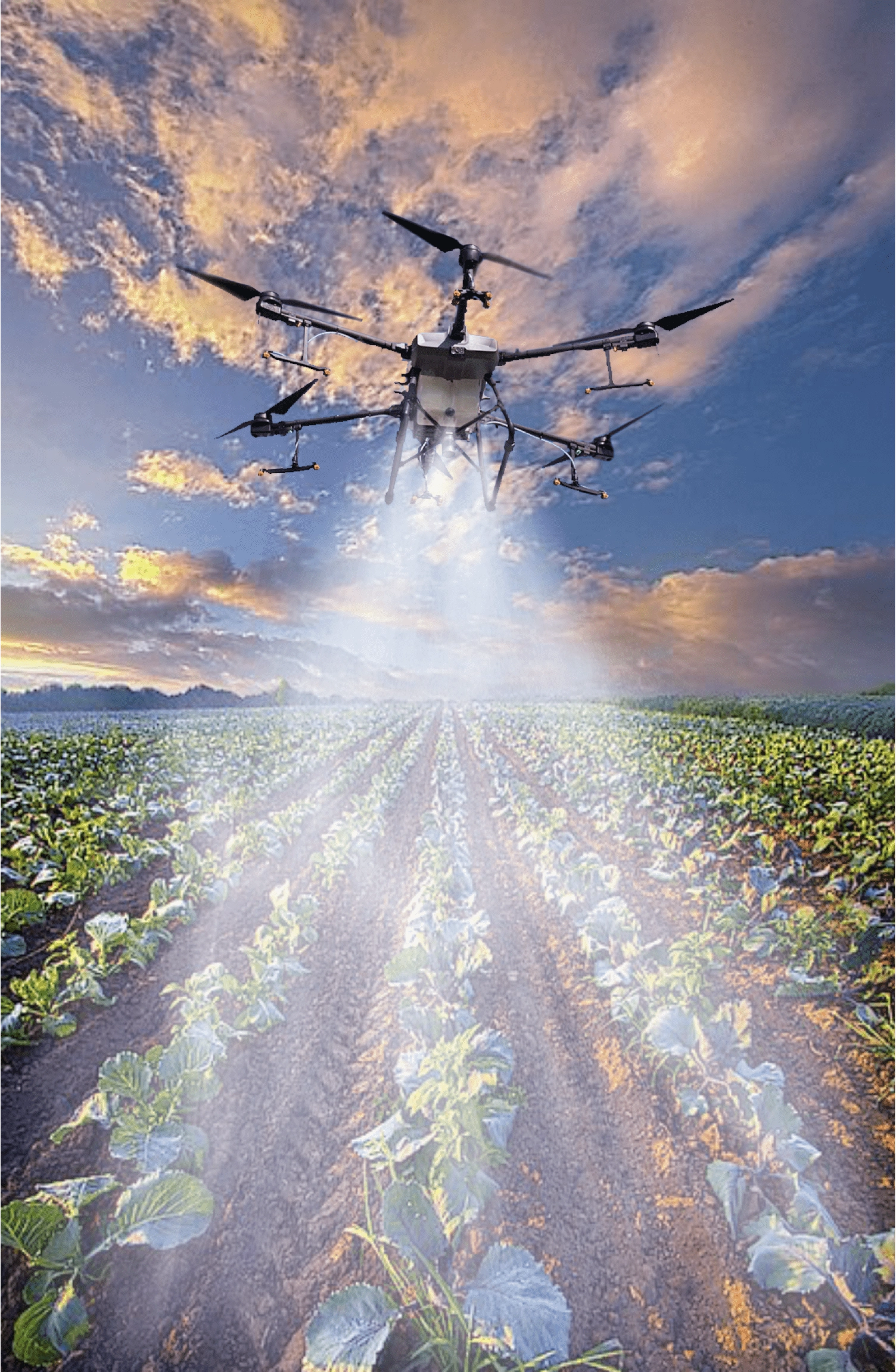
Drones can accurately spray crops with pesticides, herbicides, and fertilizers, reducing the use of chemicals and targeting specific areas for more efficient and environmentally friendly spraying.
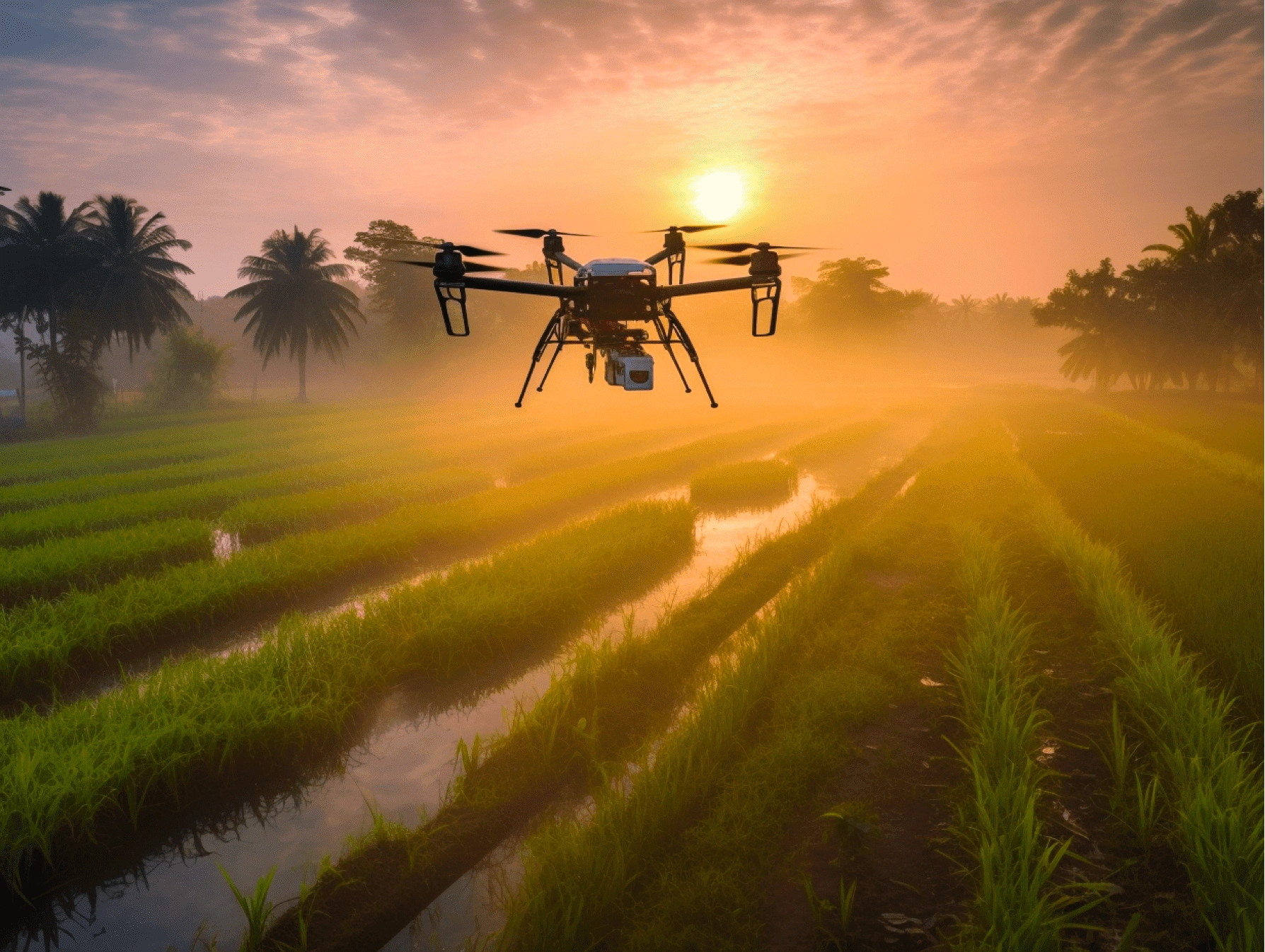
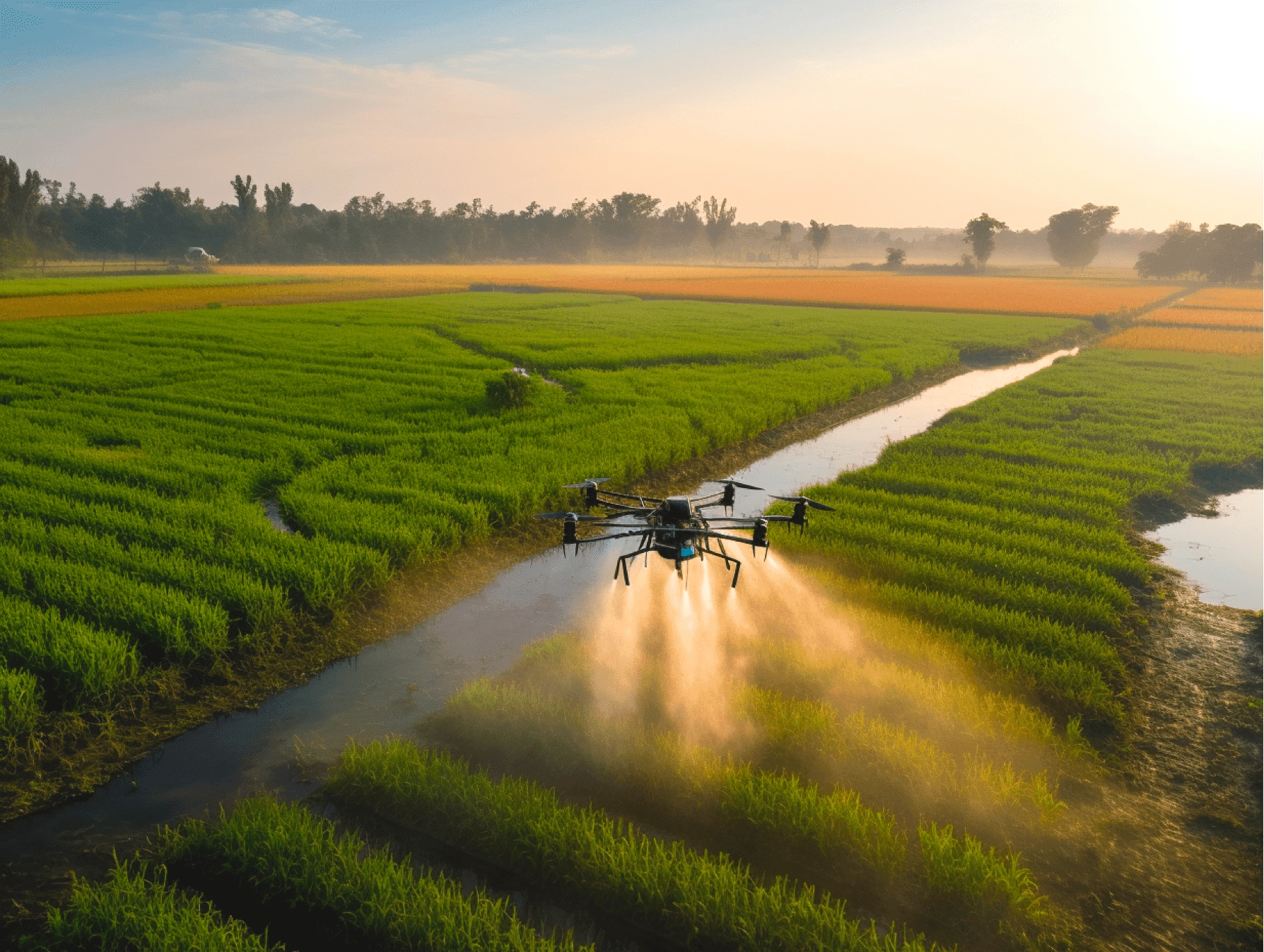
Precision Spraying Solution
Positioning and Navigation System: Drones are equipped with high-precision positioning and navigation systems, such as GPS and inertial navigation systems, to ensure accurate positioning and precise flight trajectory control of the drone in the air. This ensures that the pesticide spraying position and coverage range are accurate and error-free.
Liquid Spraying System: Drones are equipped with dedicated liquid spraying systems, including spray heads, nozzles and pumps. These systems can achieve uniform spraying of pesticides and control the spraying amount to ensure that the pesticide is evenly and accurately covered on the crop surface.
Intelligent Perception and Control: Drones are equipped with sensors and intelligent control systems that can perceive the growth status, pest and disease situation, and environmental conditions of crops, etc. By collecting and analyzing this data, drones can adjust the spraying amount and spraying method according to actual needs, achieving precise spraying for different crops and plots.
Data Analysis and Management: The data generated during the drone spraying process can be collected and recorded in real-time, including spraying amount, operating area, crop condition, etc. This data can be analyzed and managed through drone systems or subsequent data processing software, providing farmers with operation reports, decision-making support, and optimization suggestions.
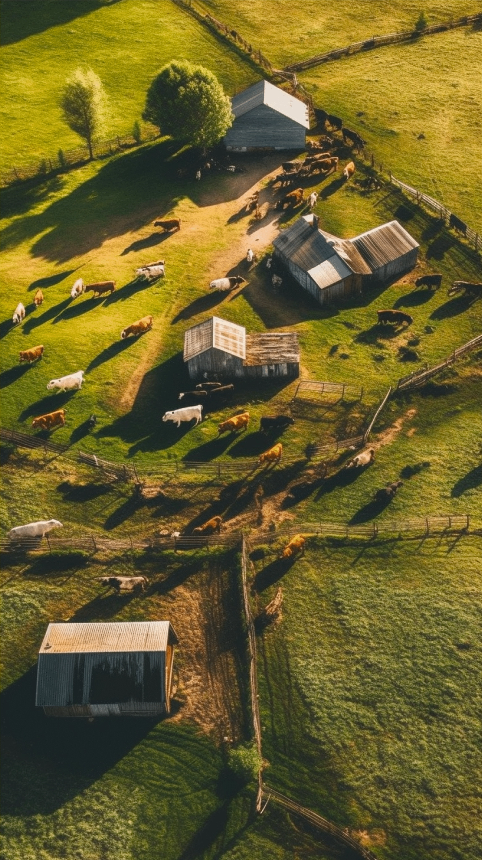
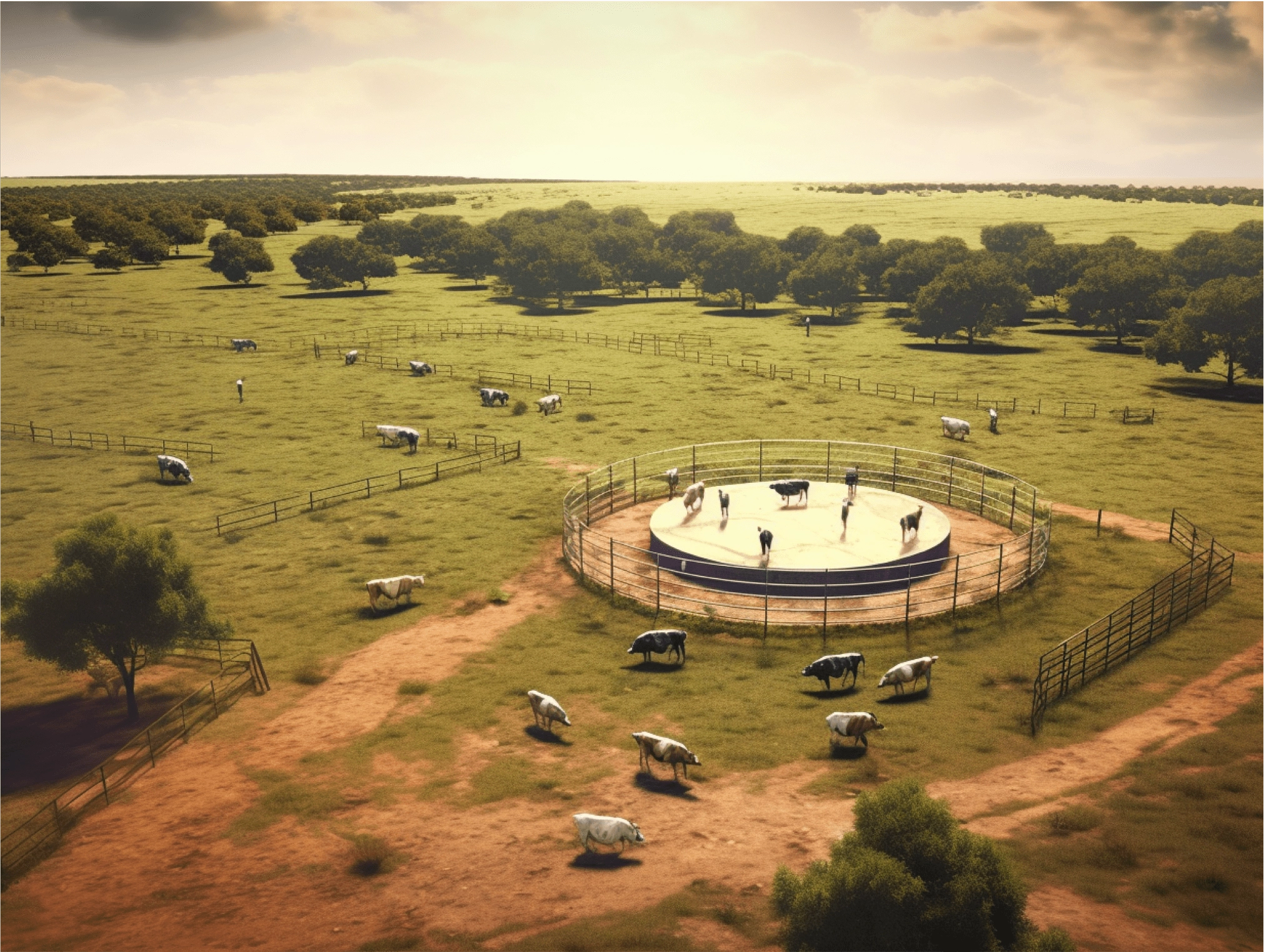
Livestock Monitoring Solution
Monitoring and Surveys: Drones can be used to monitor the overall condition of the pasture, including the number, distribution, and activity range of livestock. They can provide high-definition images and videos to help farmers or livestock breeders better understand the health status and behavior patterns of livestock.
Safety and Security: Drones can help monitor the safety of livestock sheds, fences, and pastures. They can quickly identify potential risk factors, such as damaged fences, trapped animals, or other safety hazards, to take timely measures to protect the safety of livestock.
Disease Control: Drones can assist in monitoring the health status of livestock populations, quickly detecting signs of disease or abnormal symptoms. This helps to take preventive measures early, control and manage disease outbreaks, and protect the health of livestock to the greatest extent possible.
Terrain Surveying and Grassland Management: Drones equipped with high-precision cameras and sensors can be used to survey and evaluate the terrain and grassland quality of the pasture. This helps optimize the grass planting plan, improve the quality and yield of forage, and develop more effective management strategies for livestock breeders.
Aerial Survey Solution
Data Collection: Drones are equipped with sensors such as high-resolution cameras, multispectral cameras, or laser scanners to collect images, spectral data, or terrain data within the area during flight. These data can include aerial images, infrared images, vegetation index data, etc., for subsequent analysis and processing.
Image Processing and Data Analysis: The collected images and data need to be processed and analyzed. Using computer software, images are corrected, stitched and denoised to generate high-resolution field maps. At the same time, the collected data is analyzed, such as vegetation index calculation, soil analysis, etc., to obtain more detailed farmland information.
Field Mapping: Field maps are produced from the processed and analyzed data and can include information such as the boundary of farmland, crop distribution, soil type, water distribution, etc. These maps provide farmers with intuitive farmland information to help them make agricultural management decisions.
Precision Spraying Solution
Positioning and Navigation System: Drones are equipped with high-precision positioning and navigation systems, such as GPS and inertial navigation systems, to ensure accurate positioning and precise flight trajectory control of the drone in the air. This ensures that the pesticide spraying position and coverage range are accurate and error-free.
Liquid Spraying System: Drones are equipped with dedicated liquid spraying systems, including spray heads, nozzles and pumps. These systems can achieve uniform spraying of pesticides and control the spraying amount to ensure that the pesticide is evenly and accurately covered on the crop surface.
Intelligent Perception and Control: Drones are equipped with sensors and intelligent control systems that can perceive the growth status, pest and disease situation, and environmental conditions of crops, etc. By collecting and analyzing this data, drones can adjust the spraying amount and spraying method according to actual needs, achieving precise spraying for different crops and plots.
Data Analysis and Management: The data generated during the drone spraying process can be collected and recorded in real-time, including spraying amount, operating area, crop condition, etc. This data can be analyzed and managed through drone systems or subsequent data processing software, providing farmers with operation reports, decision-making support, and optimization suggestions.
Livestock Monitoring Solution
Monitoring and Surveys: Drones can be used to monitor the overall condition of the pasture, including the number, distribution, and activity range of livestock. They can provide high-definition images and videos to help farmers or livestock breeders better understand the health status and behavior patterns of livestock.
Safety and Security: Drones can help monitor the safety of livestock sheds, fences, and pastures. They can quickly identify potential risk factors, such as damaged fences, trapped animals, or other safety hazards, to take timely measures to protect the safety of livestock.
Disease Control: Drones can assist in monitoring the health status of livestock populations, quickly detecting signs of disease or abnormal symptoms. This helps to take preventive measures early, control and manage disease outbreaks, and protect the health of livestock to the greatest extent possible.
Terrain Surveying and Grassland Management: Drones equipped with high-precision cameras and sensors can be used to survey and evaluate the terrain and grassland quality of the pasture. This helps optimize the grass planting plan, improve the quality and yield of forage, and develop more effective management strategies for livestock breeders.
Aerial Survey Solution
Data Collection: Drones are equipped with sensors such as high-resolution cameras, multispectral cameras, or laser scanners to collect images, spectral data, or terrain data within the area during flight. These data can include aerial images, infrared images, vegetation index data, etc., for subsequent analysis and processing.
Image Processing and Data Analysis: The collected images and data need to be processed and analyzed. Using computer software, images are corrected, stitched and denoised to generate high-resolution field maps. At the same time, the collected data is analyzed, such as vegetation index calculation, soil analysis, etc., to obtain more detailed farmland information.
Field Mapping: Field maps are produced from the processed and analyzed data and can include information such as the boundary of farmland, crop distribution, soil type, water distribution, etc. These maps provide farmers with intuitive farmland information to help them make agricultural management decisions.